Florida · United States
Ormond Beach to Matanzas Inlet
SR A1AOrmond Beach to Matanzas Inlet
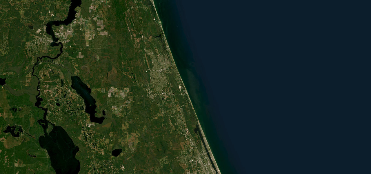
SR A1A runs about 32 miles up Florida’s Atlantic coast from Ormond Beach to Matanzas Inlet, mostly beside the beach or under live oaks, past state parks, coquina rocks and Flagler Beach, with few traffic lights.
From Ormond Beach, A1A heads north through the beachside streets and, about three miles on, returns to the shore, where free parking beside the sand starts at Al Weeks Sr. North Shore Park. It passes North Peninsula State Park and Gamble Rogers State Park, then Flagler Beach, a low-rise beach town built around its fishing pier. North of the town a curve inland takes the road through the Hammock, a canopy of live oaks with a paved bike trail alongside. Bing’s Landing on the Matanzas River, Washington Oaks Gardens State Park with its swirling coquina rocks, and Marineland and the River to Sea Preserve follow within a few miles of each other. The drive ends at the long bridge over Matanzas Inlet, with Fort Matanzas National Monument across the water, and Florida Rambler says the inlet marks the end of the most scenic stretch of A1A.
Scenery
Best seasons
In these collections
Ormond Beach to Matanzas Inlet on the map32.4 mi · point to point
Navigate to the start: Apple Maps · Google Maps
Character
Corners
mostly openElevation
under 4%4 to 8%over 8%3 to 3 mPoints of interest6 stops
- Al Weeks Sr. North Shore ParkBeachfront park with free parking, restrooms and a short boardwalk overlooking the beach.3.6 mi in
- Flagler Beach PierFishing pier at the heart of Flagler Beach, damaged by hurricanes in 2022 and being rebuilt; the bar and restaurant on it stay open.14 mi in
- Bing’s LandingPark on the Matanzas River with a waterfront barbecue restaurant and the excavated Mala Compra Plantation house site.25 mi in
- Washington Oaks Gardens State ParkFormal gardens west of A1A and a beach of swirling coquina rocks on the east side.27 mi in
- Marineland Dolphin AdventureOpened in 1938 to film underwater scenes and now run for dolphin encounters.29 mi in
- Fort Matanzas National Monument1742 Spanish fort reached by a free boat trip from the inlet, on a reduced schedule with no service on Tuesdays and Wednesdays.32 mi in
Hazards
- Cars parking and pulling out beside the beach in Flagler Beach
- Cyclists and walkers on the paved trail beside the road in the Hammock
- Storm surge and erosion at Flagler Beach, where FDOT built a buried seawall to protect the road
Sources
“For beauty and history and its lack of dense development, the 30 mile stretch of Florida A1A between Ormond Beach and Matanzas Inlet is unsurpassed.”
“The A1A Scenic & Historic Coastal Byway runs along a narrow barrier island between the Atlantic Ocean and the Intracoastal Waterway”
Route traced from OpenStreetMap, with its stats measured from that line. How the roads are mapped
Driving the Ormond Beach to Matanzas Inlet: quick answers
How long does it take to drive the Ormond Beach to Matanzas Inlet?
How difficult is the Ormond Beach to Matanzas Inlet to drive?
When is the best time to drive the Ormond Beach to Matanzas Inlet?
Nearby roads
The closest great drives to Ormond Beach to Matanzas Inlet.