Bagmati Province · Nepal
Araniko Highway
NH34Dhulikhel to Kodari
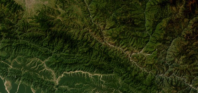
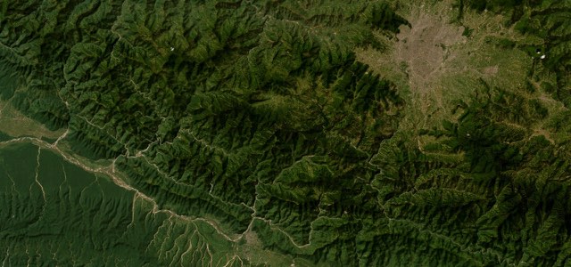
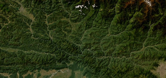
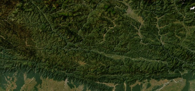
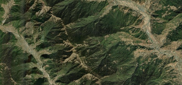
Nepal’s old road to Tibet leaves the Kathmandu valley at Dhulikhel, picks up the Sun Koshi at Dolalghat and works up the Bhote Koshi gorge on a shelf cut into the cliff to the Friendship Bridge at Kodari.
Dhulikhel is the last town on the valley rim, with its line of Himalayan peaks, and the road drops from there into the Panchkhal valley to Dolalghat, where the Indrawati meets the Sun Koshi and the rafting trips put in. It follows the river up past Lamosangu and the scar of the 2014 Jure landslide to Barabise, where the Bhote Koshi comes in. Beyond Barabise it narrows to a shelf above the gorge, badly damaged in the 2015 earthquake and cut by landslides most monsoons since, and runs on through the hot springs at Tatopani to the customs yard at Kodari, where it ends at the Sino-Nepal Friendship Bridge with China’s G318 on the far bank. It was built with Chinese help between 1963 and 1967 on an old yak track, and until the 2010s it was the only official crossing between the two countries.
Scenery
Best seasons
In these collections
In these guides
Araniko Highway on the map52.8 mi · point to point
Navigate to the start: Apple Maps · Google Maps
Character
Corners
busiest around mile 4Elevation
approximateunder 4%4 to 8%over 8%633 to 1,755 mPoints of interest5 stops
- DhulikhelValley-rim town looking out over the Himalaya from Annapurna to Karolung.at the start
- DolalghatWhere the Indrawati meets the Sun Koshi. Put-in for the river trips.17 mi in
- BarabiseLast town before the gorge, just past the Bhote Koshi confluence.36 mi in
- Tatopani hot springsVillage named for its springs, a few miles short of the border.50 mi in
- Sino-Nepal Friendship BridgeThe end of the road. Opened 1964, rebuilt in 2019 after the earthquake.53 mi in
Hazards
- Landslides and rockfall beyond Barabise
- Narrow cliff shelf above the Bhote Koshi
- Monsoon closures from June to September
- Container trucks queuing for the Tatopani customs yard
- Border checks at Kodari, where the crossing status changes at short notice
See the typical season and live conditions for the high passes ›
Sources
“The view is breathtaking, if you dare take your eyes off the road.”
“it is a drive of old towns, mountain views and dramatic river canyons.”
“Beyond Barabise, the Araniko Highway enters its most challenging section.”
Route traced from OpenStreetMap, with its stats measured from that line. How the roads are mapped
Driving the Araniko Highway: quick answers
How long does it take to drive the Araniko Highway?
How difficult is the Araniko Highway to drive?
When is the best time to drive the Araniko Highway?
Nearby roads
The closest great drives to Araniko Highway.