Bagmati / Gandaki · Nepal
Prithvi Highway
Also known as Prithvi Rajmarg
NH17Naubise to Pokhara
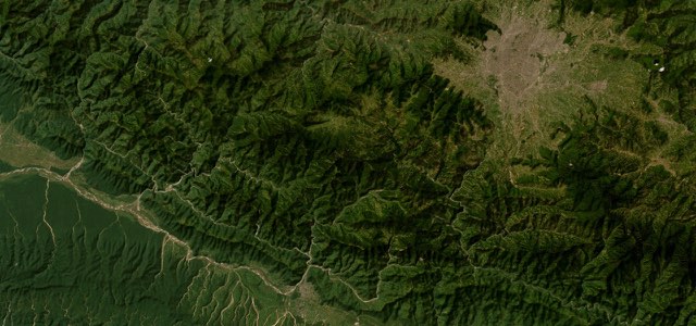
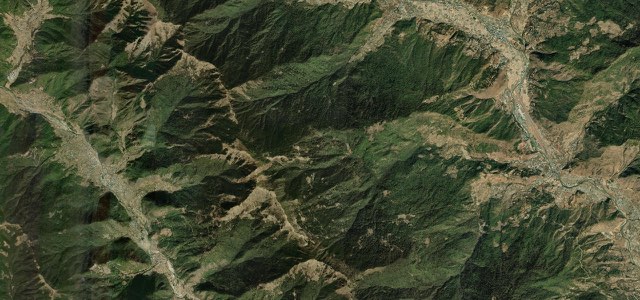
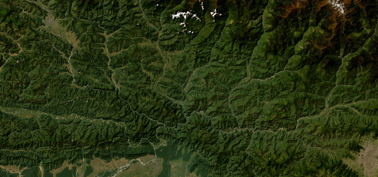
The Kathmandu to Pokhara road spends most of its length in the Trishuli gorge, running past fish stalls, rafting put-ins and terraced hillsides to the river confluence at Mugling.
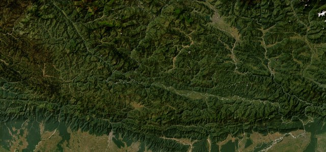
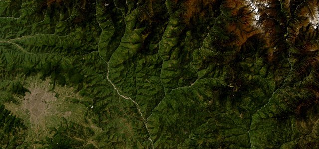
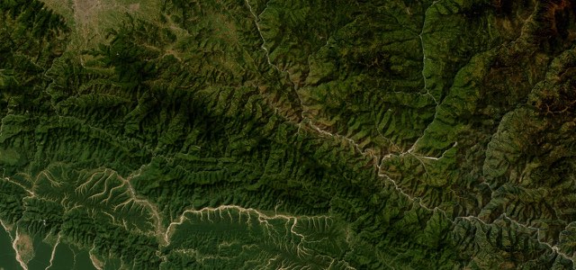
From the junction with the Tribhuvan Highway at Naubise, the highest point of the drive at about 940 m, the road drops to the Trishuli and follows the river west, past the fish stalls at Malekhu, the rafting put-ins around Charaudi and the landslide cliff at Krishnabhir, to the cable car up to Manakamana at Kurintar. Mugling is the low point at about 254 m, where the Marsyangdi comes in and the Narayanghat road forks south; from there the highway turns up the Marsyangdi through Dumre and Damauli, where the Madi meets the Seti, and climbs to Pokhara. It was built with Chinese help between 1967 and 1974, and it is a working road rather than a leisure one, with buses and trucks overtaking on blind bends and widening works between Naubise and Mugling.
Scenery
Best seasons
In these collections
In these guides
Prithvi Highway on the map107.1 mi · point to point
Navigate to the start: Apple Maps · Google Maps
Character
Corners
busiest around mile 74Elevation
under 4%4 to 8%over 8%257 to 942 mPoints of interest6 stops
- MalekhuRoadside stalls on the Trishuli known for their fish.28 mi in
- CharaudiPut-in for the day rafting trips on the Trishuli.34 mi in
- Manakamana cable car stationCheres, Kurintar. Ten minutes up to the temple in Gorkha.48 mi in
- MuglingWhere the Marsyangdi meets the Trishuli and the Narayanghat road forks south.51 mi in
- Siddha GufaCave above Bimalnagar, 50 m high and 437 m deep.65 mi in
- Byas GufaDamauli, above the confluence of the Madi and the Seti.77 mi in
Hazards
- Monsoon landslides, worst at Krishnabhir
- Heavy truck and bus traffic
- Overtaking on blind bends
- Road widening works between Naubise and Mugling
- Unlit vehicles after dark
Sources
“The scenery along the road is dramatic, following a series of deep river valleys, passing ancient stone villages, cascading rice terraces, rocky gorges, and roaring rapids crossed by precarious suspension bridges.”
“The Prithvi Highway is Nepal’s classic road trip: about 200km of paved road linking Kathmandu and lakeside Pokhara, the country’s two biggest tourist cities.”
“the highway follows a chain of deep river valleys the whole way, first the Trishuli and then the Marsyangdi and Seti systems.”
Route traced from OpenStreetMap, with its stats measured from that line. How the roads are mapped
Driving the Prithvi Highway: quick answers
How long does it take to drive the Prithvi Highway?
How difficult is the Prithvi Highway to drive?
When is the best time to drive the Prithvi Highway?
Nearby roads
The closest great drives to Prithvi Highway.