Bagmati Province · Nepal
BP Highway
NH13Dhulikhel to Sindhulimadi
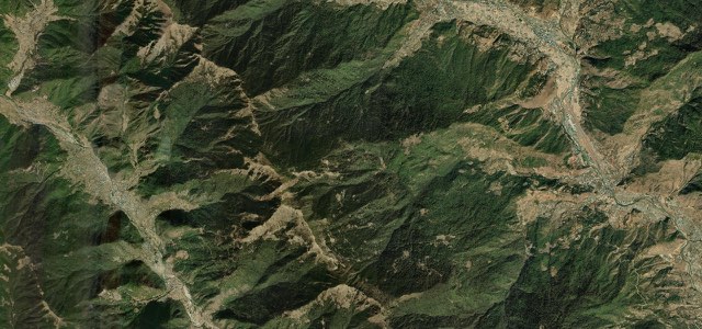
Japan’s twenty-year mountain road drops off the Dhulikhel ridge to the Sunkoshi, then climbs over the fort at Sindhuli Gadhi and unwinds to Sindhulimadi in a stack of one-bus-wide hairpins.
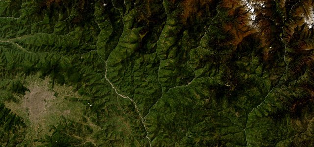
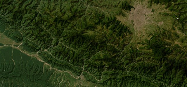
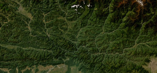
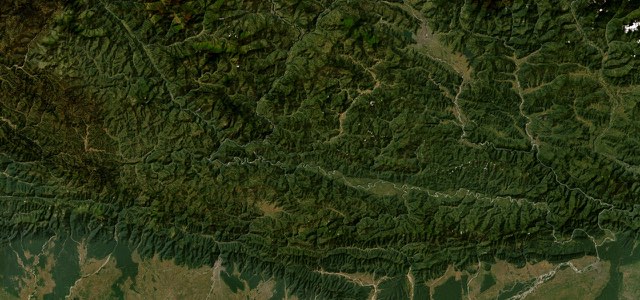
From Dhulikhel, on its ridge at about 1,550 m, the highway leaves the Araniko road at Kavre Bhanjyang and drops down the Roshi valley through Bhakundebesi to Nepalthok, where it meets the Sunkoshi at around 550 m. It runs beside the river past the resorts at Mulkot to Khurkot, then makes the long climb to Sindhuli Gadhi, the fort where Gorkha troops beat a British force in 1767. The descent from there to Sindhulimadi is the part people come for, switchbacks stacked below Dhungre Bhanjyang and Pipal Bhanjyang. It was built as Japanese grant aid over nearly twenty years, from 1996 to 2015, and the Roshi floods of September 2024 took out the stretch between Bhakundebesi and Nepalthok, which is still being rebuilt.
Scenery
Best seasons
In these collections
In these guides
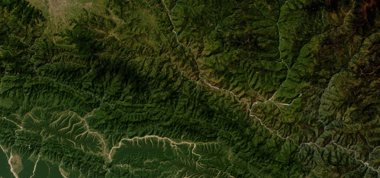
BP Highway on the map75.9 mi · point to point
Navigate to the start: Apple Maps · Google Maps
Character
More hairpins than 9 in 10 roads in the catalogue.
Corners
busiest around mile 39Elevation
under 4%4 to 8%over 8%475 to 1,617 mPoints of interest6 stops
- DhulikhelRidge town at 1,550 m, looking out along the Himalaya.at the start
- NepalthokWhere the road comes off the hills and meets the Sunkoshi.32 mi in
- KhurkotSunkoshi bazaar and the junction before the climb to Sindhuli.53 mi in
- Sindhuli GadhiHilltop fort where Gorkha troops beat a British force in 1767.64 mi in
- Dhungre BhanjyangThe pull-in people stop at to photograph the switchbacks below.66 mi in
- Pipal BhanjyangBottom of the serpentine descent towards Sindhulimadi.69 mi in
Hazards
- Hairpin bends one bus wide
- Places where two vehicles can barely pass
- Monsoon landslides on the Kavre section
- Rebuilding works between Bhakundebesi and Nepalthok
Sources
“Located in the heart of eastern Nepal, BP Highway is a very scenic journey with stunning views.”
“The highway constructed with aid from the Japanese government looks serpentine, especially from Pipal Bhanjyang to Dhungre Bhanjyang, and awe-inspiring.”
Route traced from OpenStreetMap, with its stats measured from that line. How the roads are mapped
Driving the BP Highway: quick answers
How long does it take to drive the BP Highway?
How difficult is the BP Highway to drive?
When is the best time to drive the BP Highway?
Nearby roads
The closest great drives to BP Highway.