Queensland · Australia
Captain Cook Highway
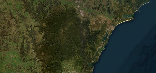
44Cairns to Port Douglas
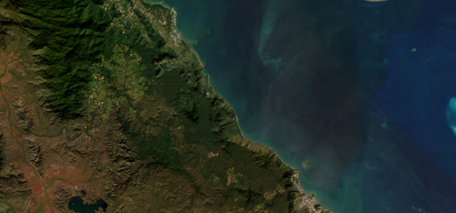
Tropical coast road between rainforest and the reef.
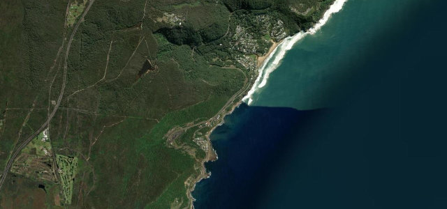
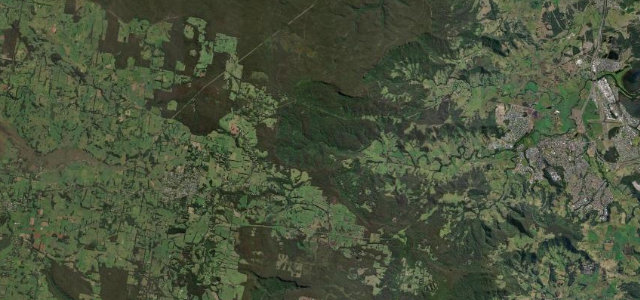
North of Cairns the highway runs about 35 km of coastline toward Port Douglas, winding past Ellis Beach, Wangetti and Rex Lookout with the Coral Sea on one side and rainforest ranges on the other. Signed State Route 44, it threads headlands and beach fringes through World Heritage scenery. Mind winding cliff sections, cassowaries crossing, and wet-season flooding.
Scenery
CoastForest
Best seasons
WinterSpring
In these collections
Where it runs25.9 mi · point to point
CairnsStart · Queensland
Port DouglasEnd · Queensland
Navigate to the start: Apple Maps · Google Maps
Character
Corners80bends
Tightness5of 10
Max gradient8%≈ 1-in-13
Climb230 mtotal ascent
Summit61.2 mhighest point of the line · 201 ft
Corners
busiest around mile 14Elevation
under 4%4–8%over 8%2.3 – 61.2 mFrom the road
Points of interest2 stops
- Rex LookoutViewpoint12 mi in
- Field of CairnsLandmark7.6 mi in
Hazards
- Winding cliff sections
- Cassowaries on road
- Wet-season flooding
Sources
“magnificent ocean views and spectacular mountain scenery make it one of the best drives in the country”
Verified route: mapped from real road geometry and fact-checked by a human editor. How roads get checked
Driving the Captain Cook Highway: quick answers
How long does it take to drive the Captain Cook Highway?
Captain Cook Highway runs 25.9 miles (42 km) and takes about 52 min to drive without stops.
How difficult is the Captain Cook Highway to drive?
We rate it moderate: 80 corners, a maximum gradient of 8%, and a tightness of 5 out of 10.
When is the best time to drive the Captain Cook Highway?
Winter and Spring are best.
Nearby roads
The closest great drives to Captain Cook Highway.
Captain Cook Highway
DirectionsGet the app