Xinjiang · China
Duku Highway
G217Dushanzi to Kuqa
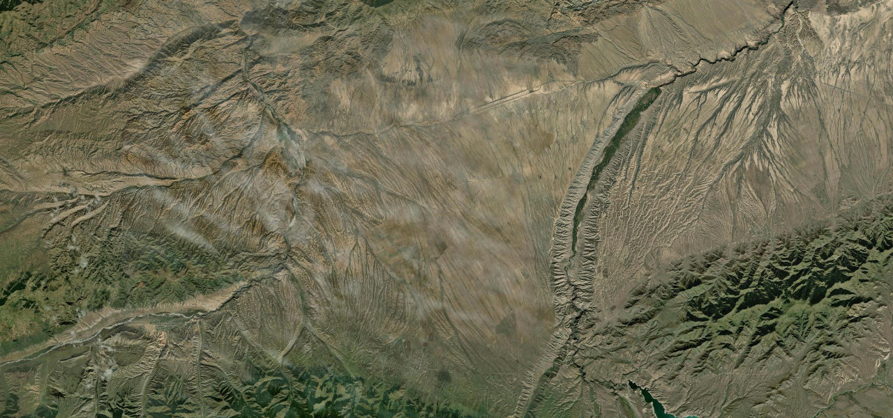
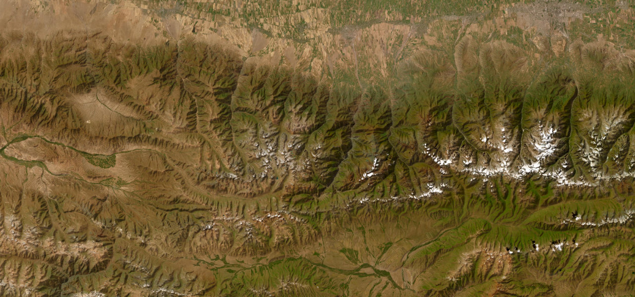
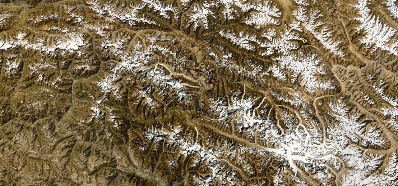
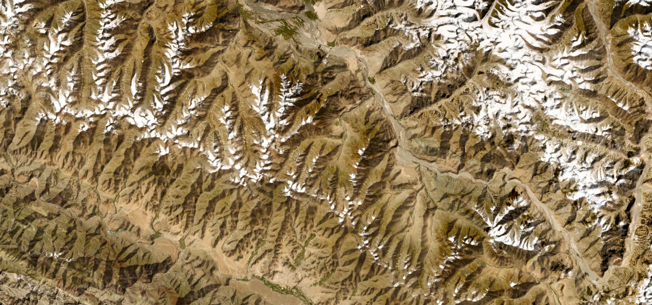
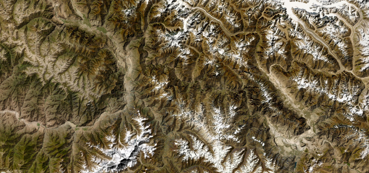
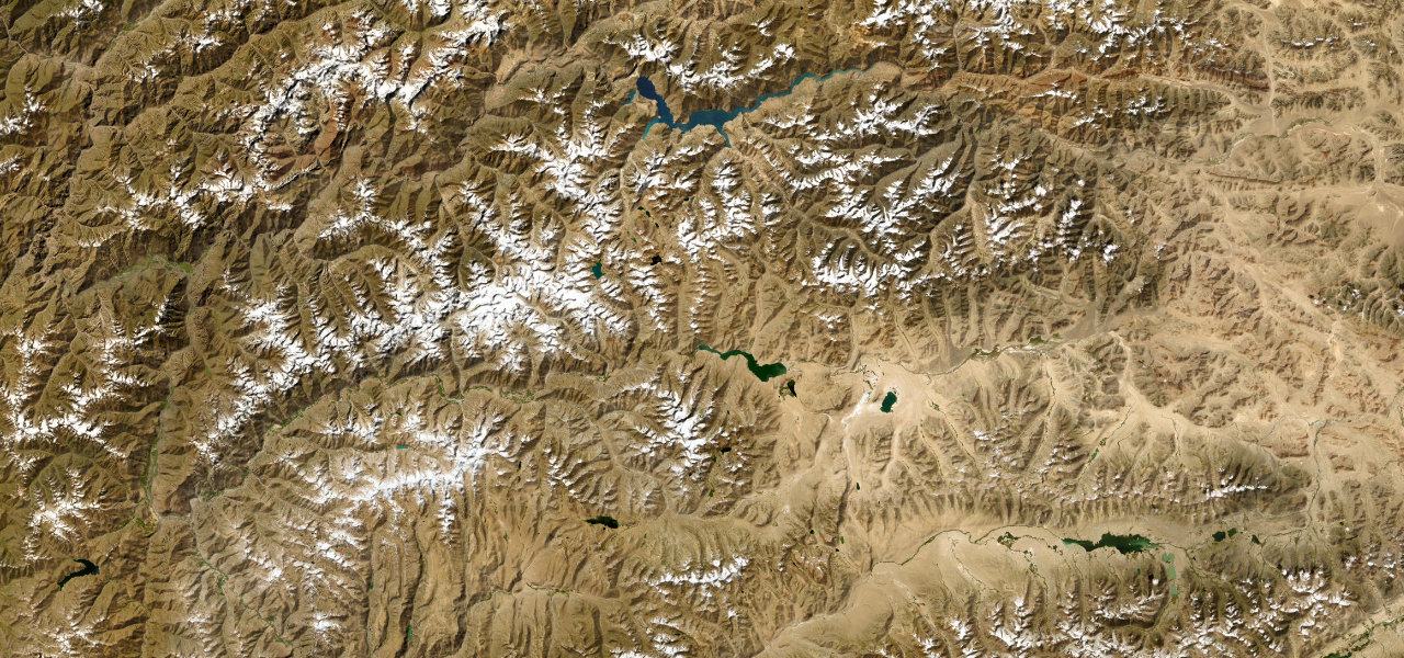
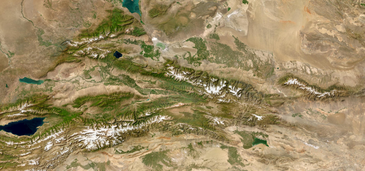
The Duku Highway (G217) crosses the Tianshan Mountains through 561 km of staggering variety, carving through deep river gorges, alpine meadows, desert ridges and snow peaks in a single drive widely called China’s most scenic highway.
The highway runs south from Dushanzi across the Tianshan to Kuqa on the edge of the Tarim Basin. The north descends through the Dushanzi Grand Canyon before climbing to the Haxilegen Pass tunnel at 3,460 m; the centre opens onto the vast Bayanbulak grassland and the Nine-Bend Kaidu River; the southern descent narrows into the red-rock Kuqa Grand Canyon before the desert edge. Open only June to September.
Scenery
Where it runs
Navigate to the start: Apple Maps · Google Maps
Character
More hairpins than 9 in 10 roads · higher than 9 in 10 roads in the catalogue.
Elevation
under 4%4–8%over 8%281 – 3,391 mHazards
- closed October to May
- altitude sickness near the 3,460 m Haxilegen Pass
- mudslides and flash floods in rain
- fuel stations 100-150 km apart
- sudden snow even in summer
- permits required for some areas
See the typical season and live conditions for the high passes ›
Sources: Road geometry © OpenStreetMap contributors
Nearby roads
The closest great drives to Duku Highway.