Almaty Region · Kazakhstan
Kolsai Lakes Road
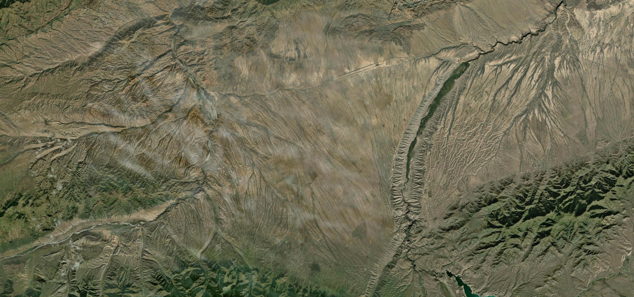
KZ05-08Chundzha junction to Saty
Distance42.2 mi68 km
Drive time1 h 24 minon the road
DifficultyModeratetightness 5 of 10
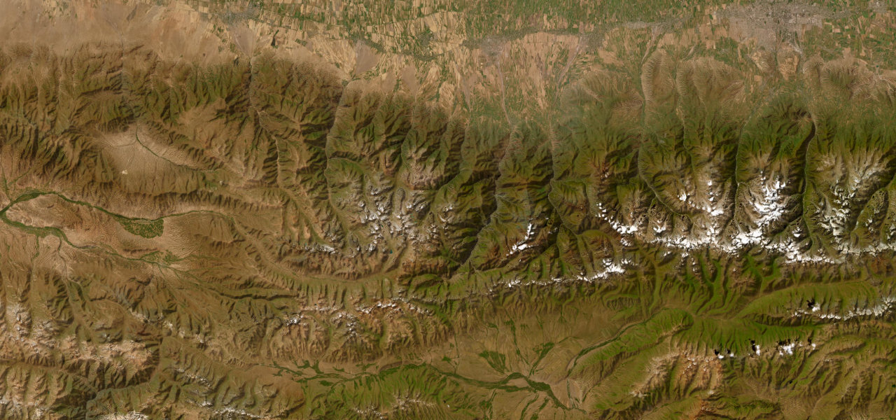
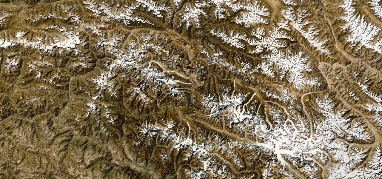
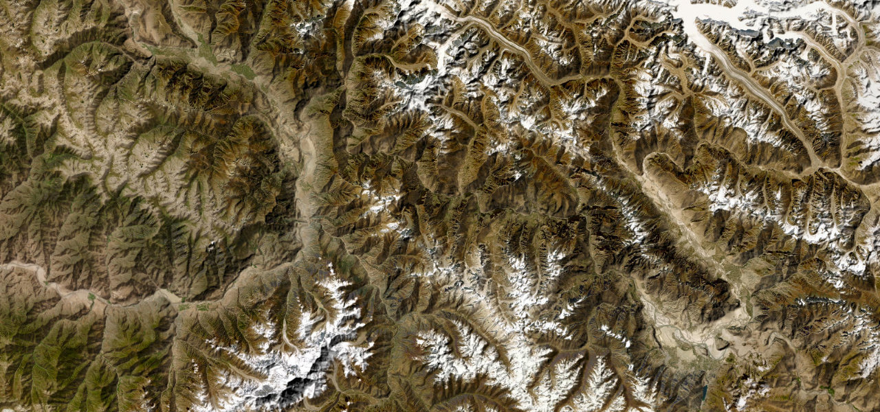
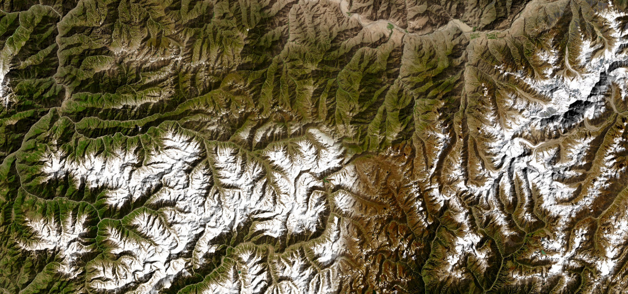
A Tien Shan mountain road peeling south from the steppe highway into the Kungey Alatau, winding through meadows of wild horses and yurt camps to some of the most photogenic alpine lakes in Central Asia.
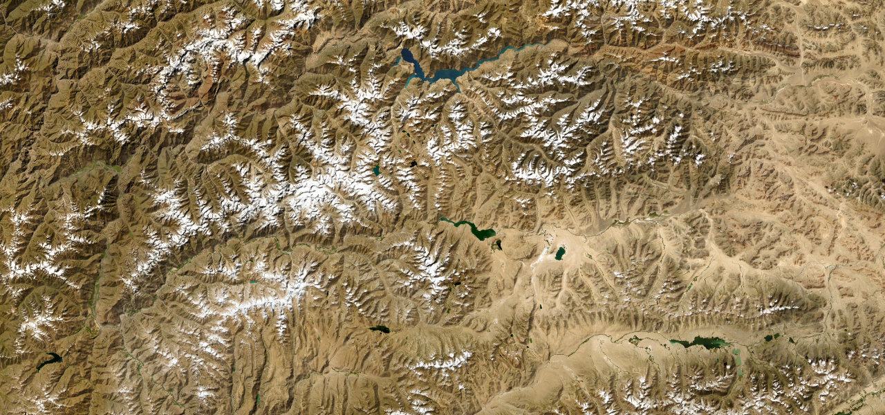
Branching south from the Kuldjinsky tract near Chundzha, the KZ05-08 narrows into the Kungey Alatau foothills through open meadows past grazing horses, rivers and yurt camps, snow-capped Tien Shan peaks rising ahead, terminating at the village of Saty, gateway to the three stacked Kolsai lakes. The paved section is fine for a standard car.
Scenery
MountainForestLakesValley
Where it runs
Chundzha junctionStart · Almaty Region
SatyEnd · Almaty Region
Navigate to the start: Apple Maps · Google Maps
Character
Corners25bends
Tightness5of 10
Max gradient9%≈ 1-in-11
Hairpins2tight bends
Climb960 mtotal ascent
Summit1,857 mhighest point of the line · 6,093 ft
Elevation
under 4%4–8%over 8%1,211 – 1,857 mHazards
- unpaved beyond Saty
- 4x4 required for Kaindy Lake
- river crossings near the lakes
- no fuel beyond Saty
Sources: Road geometry © OpenStreetMap contributors
Nearby roads
The closest great drives to Kolsai Lakes Road.
Kolsai Lakes Road
Directions