Queensland · Australia
Gillies Range Road
State Route 52Gordonvale to Yungaburra
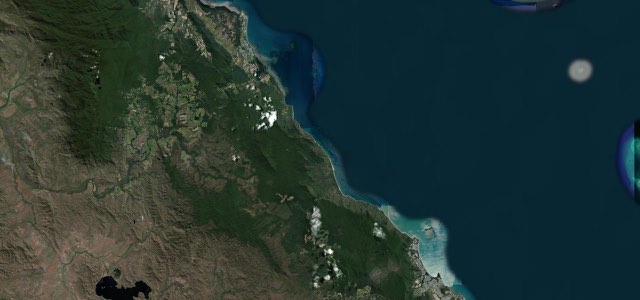
The Gillies Range Road packs 800 m of elevation change and 263 corners into 19 km between Gordonvale and the Atherton Tableland, then runs on past Lake Barrine to Yungaburra, 44 km from the start.
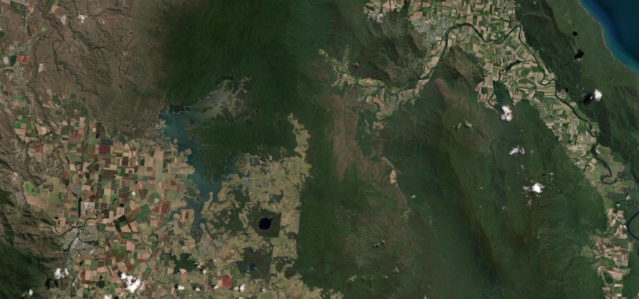
From the Bruce Highway interchange at Gordonvale, 35 km south of Cairns, the Gillies Highway runs south-west along the Mulgrave River to the foot of the range. It climbs by a winding route, generally westward, and then south through Little Mulgrave National Park before turning west to the Atherton Tableland, and the Atherton Tablelands tourism site puts the climb at 263 corners and 800 m of elevation change in only 19 km. The Queensland Government’s route notes name Heales Lookout and Yungaburra for panoramas. On the Tableland the road passes north of Lake Barrine, where the tea house was built in 1926, and runs on to Yungaburra, where a track from the village leads to a platypus viewing deck. The highway carries on to Atherton, 56 km from Gordonvale, but this section stops at Yungaburra. The surface is sealed and in good condition, but reconstruction at 19 sites on the range is due to finish around mid-2027.
Scenery
Best seasons
In these collections
Gillies Range Road on the map27.0 mi · point to point
Navigate to the start: Apple Maps · Google Maps
Character
Corners
busiest around mile 8Elevation
under 4%4 to 8%over 8%23 to 820 mPoints of interest4 stops
- Heales LookoutNamed with Yungaburra in the Queensland Government’s route notes as a panorama stop.15 mi in
- Lake Barrine Tea HouseTea house beside the crater lake, built in 1926.21 mi in
- Yungaburra Visitor Information CentreVisitor information in the heritage village at the end of this section.27 mi in
- Platypus Viewing PlatformPlatypus viewing deck on a track from Yungaburra.27 mi in
Hazards
- Reconstruction works at 19 sites on the range, due to finish around mid-2027
- Rain and fog can cut visibility on the range
- Other drivers cross double white lines to reach lookouts, and cars can be facing the wrong way when they leave
- Traffic builds on weekends and in peak tourist season
- Slow-moving vehicles, livestock and wildlife
Sources
“The route has enough satisfying curves and inclines to provide a stimulating ride for skilled riders. The smooth tarmac and scenic surroundings make it a pleasurable experience and not just a test of skill.”
“the Gillies Range, famous for its 263 corners, and 800m elevation change in only 19 km of road.”
“Known for its picturesque lookouts and steep sections, the road winds its way through World Heritage Area rainforest along the Gillies Range.”
Route traced from OpenStreetMap, with its stats measured from that line. How the roads are mapped
Driving the Gillies Range Road: quick answers
How long does it take to drive the Gillies Range Road?
How difficult is the Gillies Range Road to drive?
When is the best time to drive the Gillies Range Road?
Nearby roads
The closest great drives to Gillies Range Road.