Day-trip range
Driving roads near Southampton
11 great driving roads within 100 miles of Southampton. The closest is Military Road (Isle of Wight), 17 miles out. Distances are straight-line, so drive times will vary.
The roads, closest first
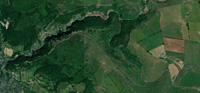 Cheddar Gorge3 mi · 5 min · 12 cornersView the roadbook ›
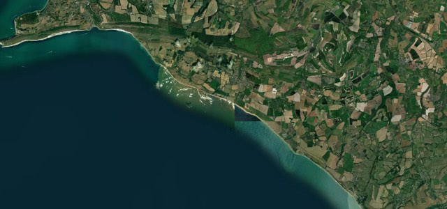
Military Road (Isle of Wight)
South Downs
Sussex Weald
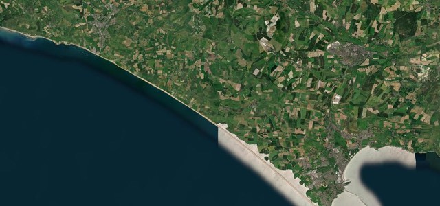
Jurassic Coast Road
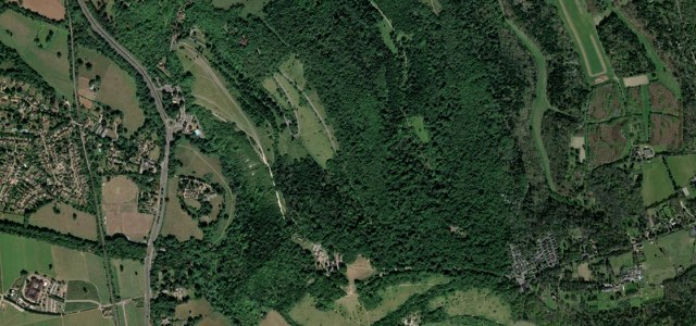
Box Hill Zig Zag Road
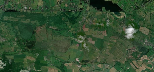
Burrington Combe
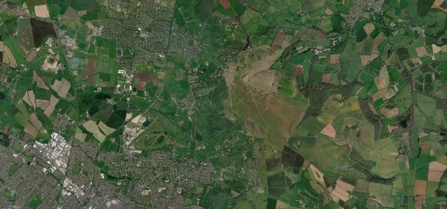
Cleeve Hill
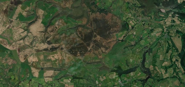
Dunkery Hill
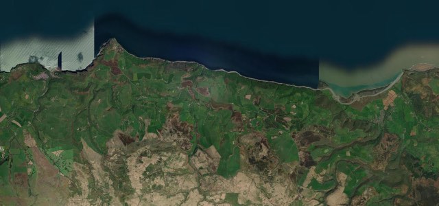
Porlock Hill
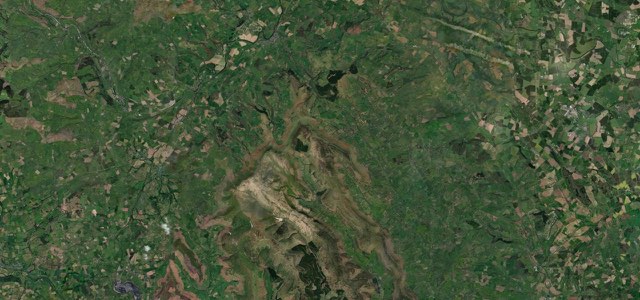
Gospel Pass
Near other cities
Driving near Southampton: common questions
What is the best driving road near Southampton?
Cheddar Gorge, about 63 miles from Southampton as the crow flies. Britain’s grandest limestone gorge, the B3135 winding beneath 137-metre cliffs.
How many great driving roads are within 100 miles of Southampton?
11 of the roads in our catalogue pass within 100 miles of Southampton, every one traced from OpenStreetMap.
What is the closest great driving road to Southampton?
Military Road (Isle of Wight), about 17 miles away. The A3055 follows the cliff tops of the Isle of Wight’s south-west coast from Freshwater Bay to Chale, fast and open with views across the Channel, on a line that coastal erosion has already forced it to move.