Day-trip range
Driving roads near Strasbourg
14 great driving roads within 100 miles of Strasbourg. The closest is Route des Vins d’Alsace (Obernai to Kaysersberg), 15 miles out. Distances are straight-line, so drive times will vary.
The roads, closest first
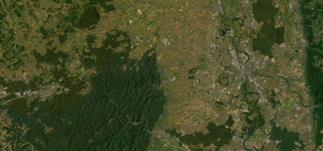 Deutsche Weinstraße21 mi · 36 min · 15 cornersView the roadbook ›
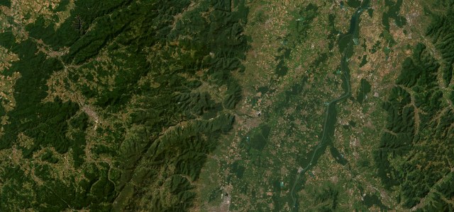
Route des Vins d’Alsace (Obernai to Kaysersberg)
Kniebis Pass
Schwarzwaldhochstraße
Kandel Pass Road
Schauinslandstraße
Col de la Schlucht
Höllental
Route des Crêtes
Feldberg Pass
Böhringer Steige
Hunsrückhöhenstraße
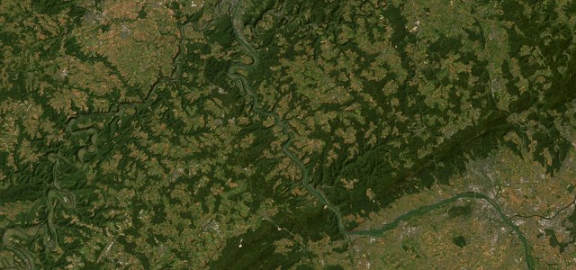
Rhine Gorge
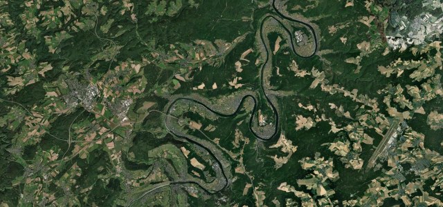
Moselweinstraße
Near other cities
Driving near Strasbourg: common questions
What is the best driving road near Strasbourg?
Deutsche Weinstraße, about 56 miles from Strasbourg as the crow flies. Germany’s oldest wine-tourism route, the Deutsche Weinstraße rolls along the warm Haardt edge of the Palatinate Forest from Neustadt north to Bockenheim, a gentle vineyard drive past castles, ruins and village wine taverns rather than a corner-carver.
How many great driving roads are within 100 miles of Strasbourg?
14 of the roads in our catalogue pass within 100 miles of Strasbourg, every one traced from OpenStreetMap.
What is the closest great driving road to Strasbourg?
Route des Vins d’Alsace (Obernai to Kaysersberg), about 15 miles away. A 55 km middle section of the Alsace Wine Route, launched in 1953, running along the Vosges foothills from Obernai to Kaysersberg through Barr, Andlau, Dambach-la-Ville and Ribeauvillé and past the ramparts of Riquewihr.