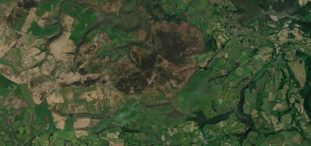
Region guide
The best driving roads in Southern England
14 hand-picked driving roads in Southern England, every one mapped from real geometry and fact-checked.
Roads14hand-picked
Combined171 mi275 km of driving
High point458 m1,503 ft
Southern England’s driving is coast and downland: the sweeping roads of the South Downs, the Jurassic Coast and the New Forest, plus the odd hidden hill climb. Here are the best, mapped and checked.
The roads
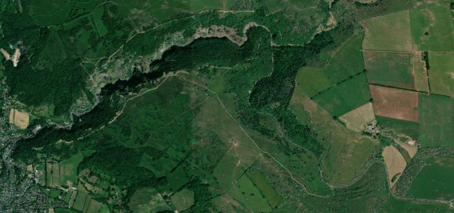 Cheddar Gorge3 mi · 5 min · 12 cornersView the roadbook ›
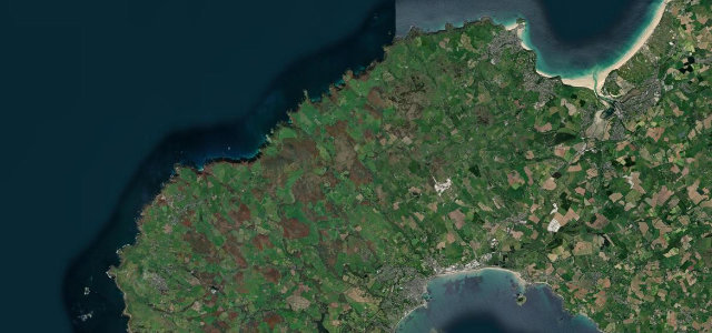
St Ives to St Just
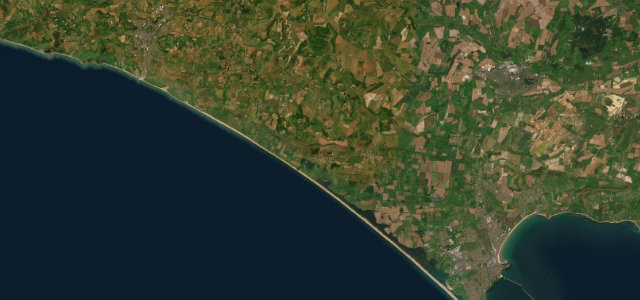
Jurassic Coast Road
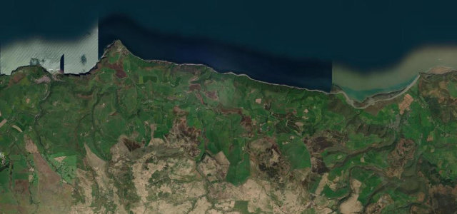
Porlock Hill
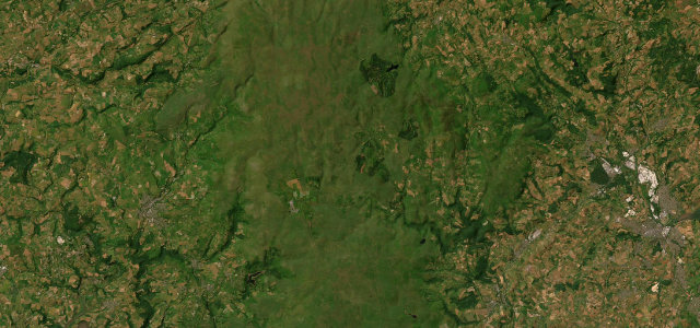
Dartmoor Crossing
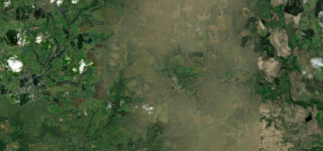
Tavistock to Dartmeet
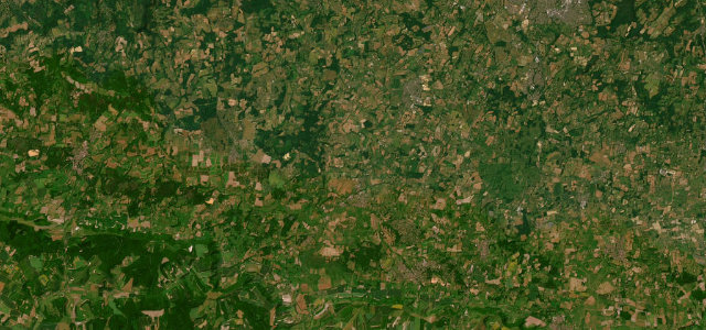
Sussex Weald
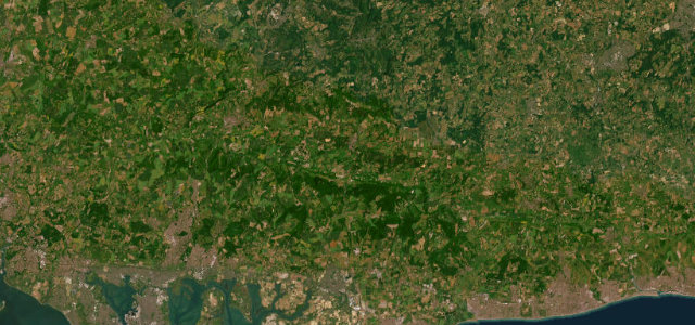
South Downs
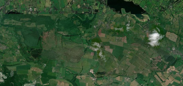
Burrington Combe
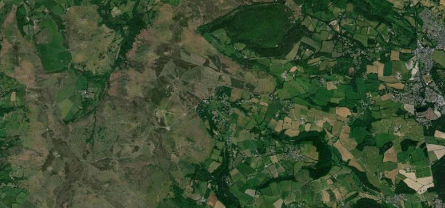
Bovey Tracey to Haytor
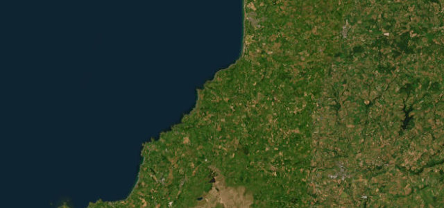
Atlantic Highway
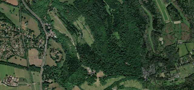
Box Hill Zig Zag Road
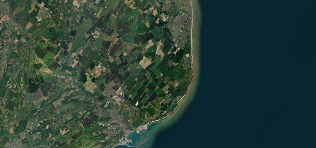
Dover to Deal