Region guide

The best driving roads in Northern England

25 hand-picked driving roads in Northern England, every one mapped from real geometry and fact-checked, including 1 world icon.

Satellite view of the best driving roads in Northern England
Roads251 world icon
Combined310miles of driving
High point602metres · 1975 ft

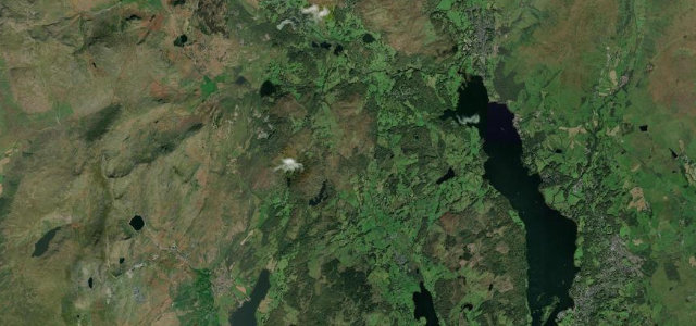
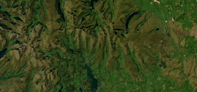
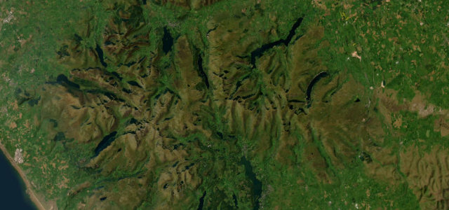
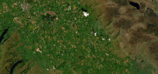
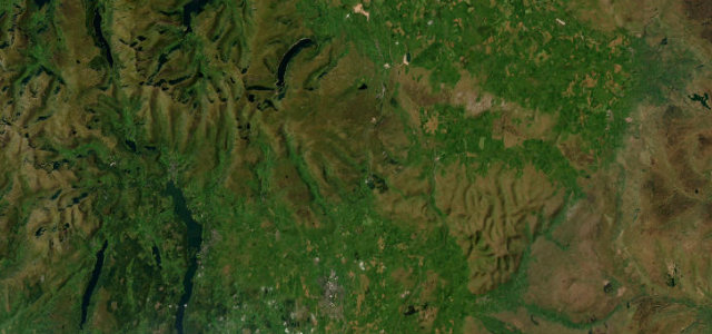
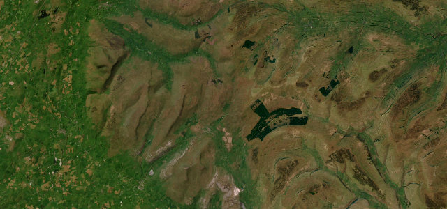
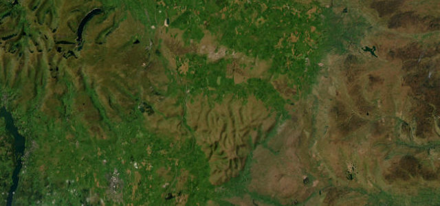
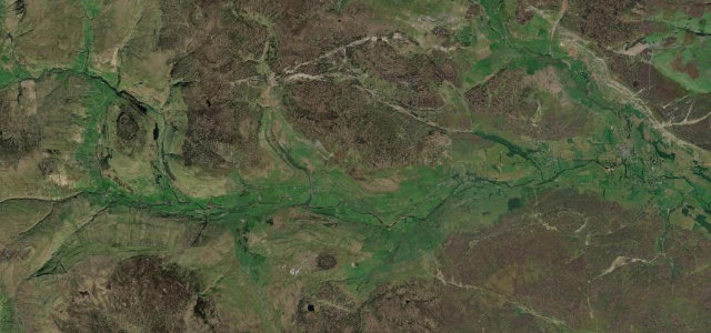
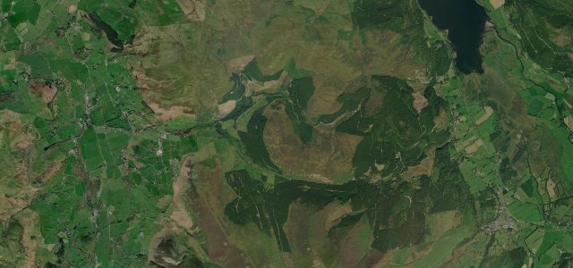
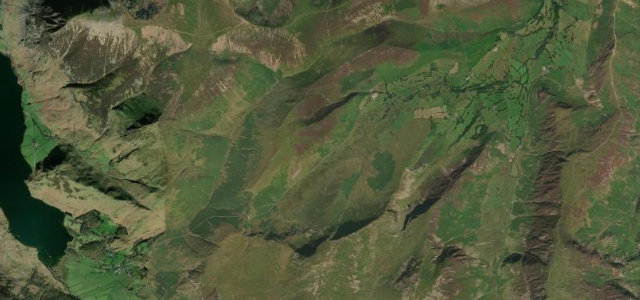
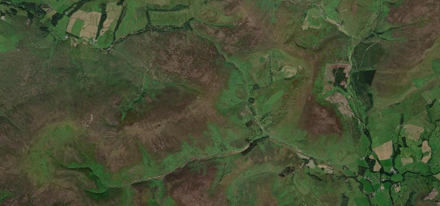
Northern England is pass country: the Lake District's brutal climbs, the Yorkshire Dales' limestone sweeps and the high moorland roads of the Pennines. Hardknott, Buttertubs and Honister are here, alongside the rest we have driven and checked.

Satellite map of Ambleside to Coniston, England – North

Ambleside to Coniston

A593England – North

8 mi · 15 min

Satellite map of Rosedale Chimney Bank, England – North

Rosedale Chimney Bank

England – North

1 mi · 3 min

Satellite map of Fleet Moss, England – North

Fleet Moss

England – North

15 mi · 33 min

Satellite map of Teesdale to Alston, England – North

Teesdale to Alston

B6277England – North

22 mi · 41 min

Satellite map of Trough of Bowland, England – North

Trough of Bowland

England – North

6 mi · 12 min

Satellite map of Newlands Pass, England – North

Newlands Pass

England – North

4 mi · 9 min

Satellite map of Yad Moss, England – North

Yad Moss

B6277England – North

17 mi · 32 min

Satellite map of Upper Coquetdale, England – North

Upper Coquetdale

England – North

10 mi · 20 min

Satellite map of Whinlatter Pass, England – North

Whinlatter Pass

B5292England – North

7 mi · 13 min

Satellite map of Swaledale, England – North

Swaledale

B6270England – North

12 mi · 23 min

Satellite map of Honister Pass, England – North

Honister Pass

B5289England – North

6 mi · 13 min

Satellite map of Wharfedale, England – North

Wharfedale

B6160England – North

15 mi · 29 min

Satellite map of Cragg Vale, England – North

Cragg Vale

B6138England – North

4 mi · 7 min

Satellite map of Wensleydale to Richmond, England – North

Wensleydale to Richmond

A6108England – North

11 mi · 20 min

Satellite map of Kirkby Stephen Road, England – North

Kirkby Stephen Road

A685England – North

26 mi · 48 min

Satellite map of Ribblehead, England – North

Ribblehead

B6255England – North

16 mi · 31 min

Satellite map of Shap Fell, England – North

Shap Fell

A6England – North

17 mi · 30 min

Satellite map of Stainmore, England – North

Stainmore

A66England – North

21 mi · 38 min

Satellite map of Wensleydale, England – North

Wensleydale

A684England – North

16 mi · 30 min

Satellite map of Sutton Bank, England – North

Sutton Bank

A170England – North

13 mi · 28 min

Satellite map of Dunmail Raise, England – North

Dunmail Raise

A591England – North

20 mi · 38 min

Satellite map of Kirkstone Pass, England – North

Kirkstone Pass

A592England – North

12 mi · 26 min

Satellite map of Hartside Pass, England – North

Hartside Pass

A686England – North

19 mi · 40 min

Satellite map of Buttertubs Pass, England – North

Buttertubs Pass

England – North

8 mi · 16 min

Satellite map of Hardknott & Wrynose Passes, England – North

Hardknott & Wrynose Passes

England – North

7 mi · 18 min

More of United Kingdom