Region guide
The best driving roads in Scotland
43 hand-picked driving roads in Scotland, every one mapped from real geometry and fact-checked, including 2 world icons.
Roads432 world icons
Combined702 mi1,130 km of driving
High point683 m2,241 ft
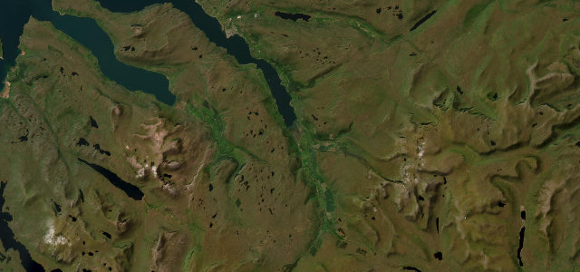
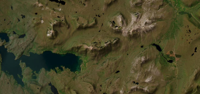
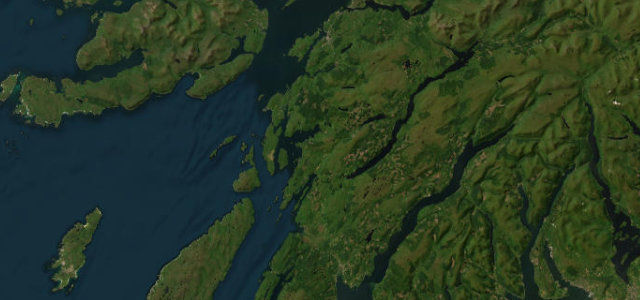
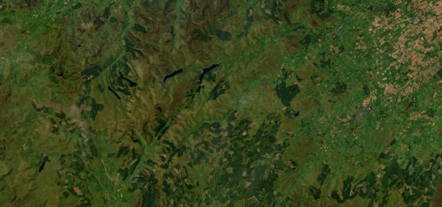
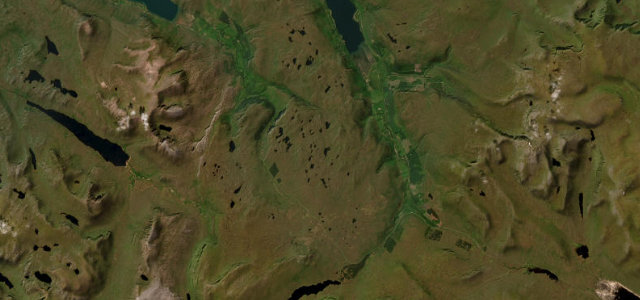
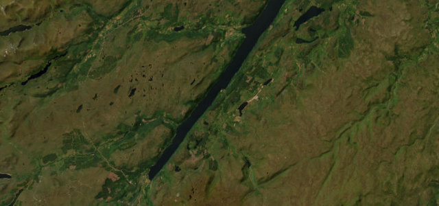
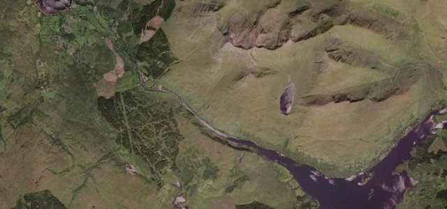
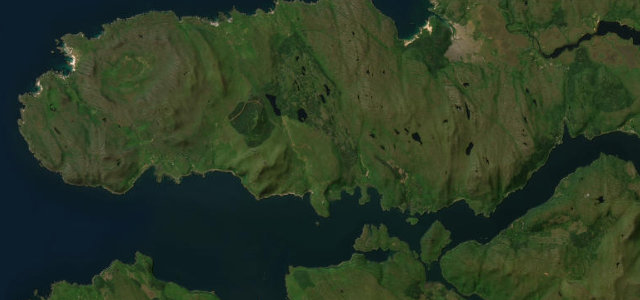
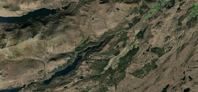
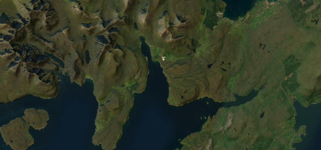
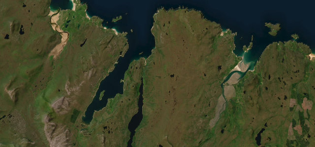
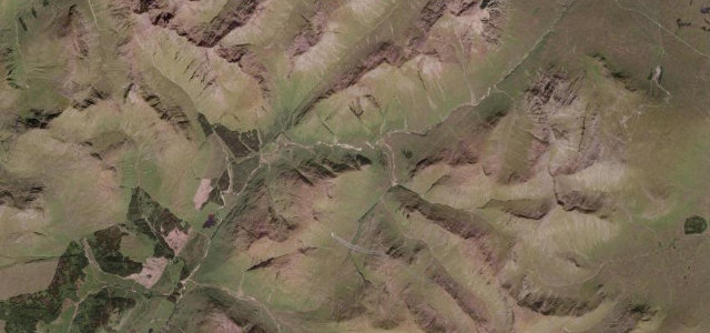
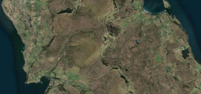
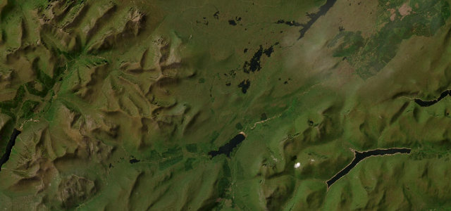
Scotland is the finest driving country in Britain, and it is not close. The Highlands stack single-track passes, sea-loch sweeps and empty A-roads into drives that run for hours without a dull mile, from the hairpins of the Bealach na Bà to the long haul of the North Coast 500. These are the ones I’ve mapped, measured and checked by hand.
The roads
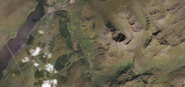
 Bealach na Bà7 mi · 18 min · 626 m summitView the roadbook ›
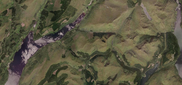
Glencoe
The Snow Road
Rest and Be Thankful
Cairnwell Pass
The Duke's Pass
Glen Shiel
Braemore to Ullapool
Glen Torridon
Glen Ogle
Pass of Drumochter
Oban to Lochgilphead
Appin Coast
Loch Lomond
The Queen's Way
Carter Bar
Loch Maree & Wester Ross
Loch Laggan
Kylesku
Assynt & Lochinver
Mull of Galloway
Cairngorm Mountain Road
Dirrie More
Grey Mare's Tail & St Mary's Loch
Glen Nevis Road
Glen Carron
Glen Lyon
Destitution Road
Loch Ness South Military Road
Pass of Brander
Ardnamurchan Peninsula Road
Glen Affric
Road to the Isles
Mam Ratagan to Glenelg
Mull West Coast Road
Broadford to Elgol
Loch Eriboll & Durness
Glen Etive
Quiraing and the Trotternish Loop
Rannoch Moor
Glen Aray
Arran Coast Road