Day-trip range
Driving roads near Nice
23 great driving roads within 100 miles of Nice, hand-picked and fact-checked. The closest is Col de Vence, 8 miles out. Distances are straight-line, so drive times will vary.
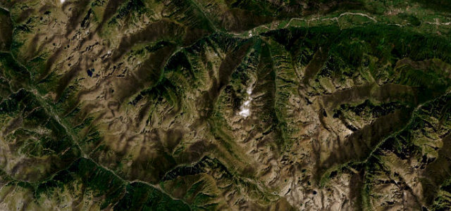
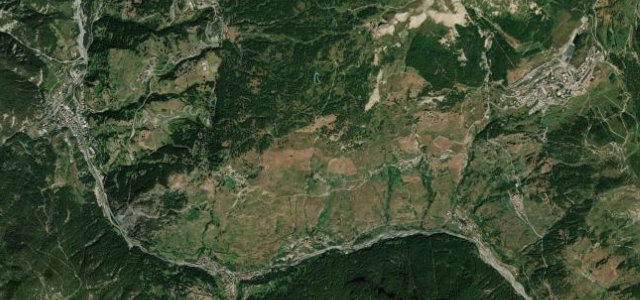
 Col de l'Echelle6 mi · 13 min · 7 hairpinsView the roadbook ›
The roads, closest first
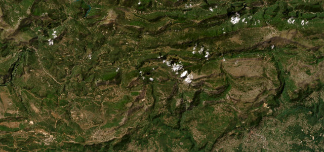
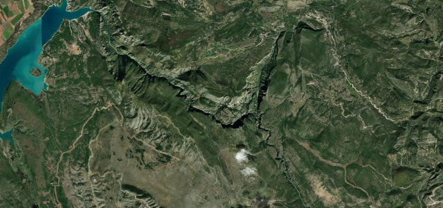
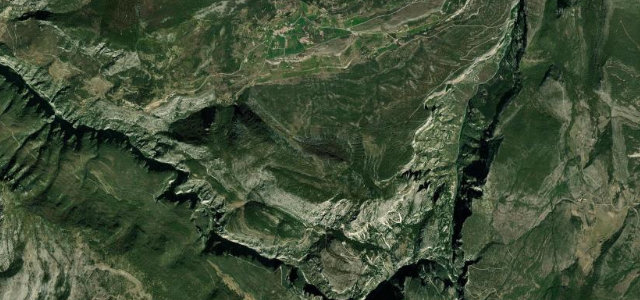
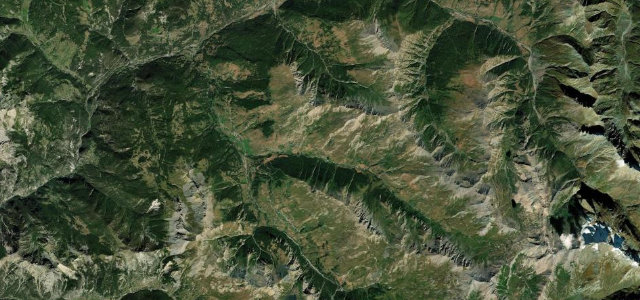
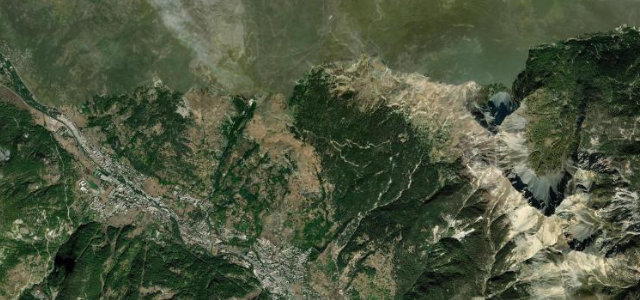
Col de Vence
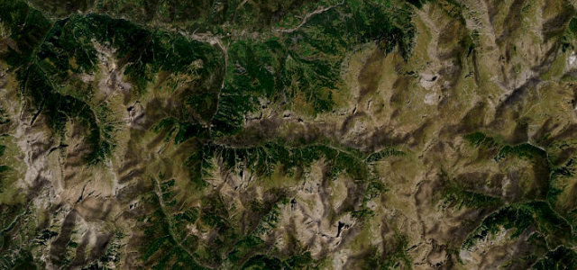
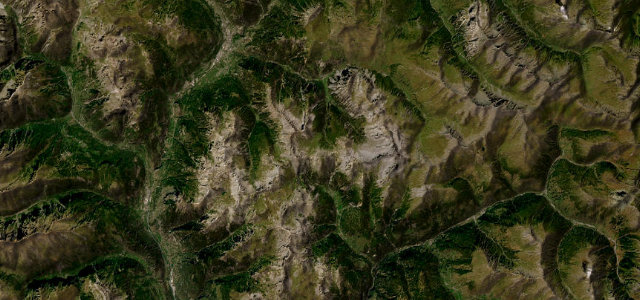
Col de Braus
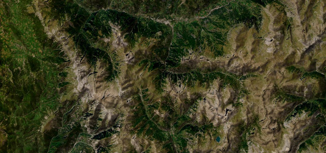
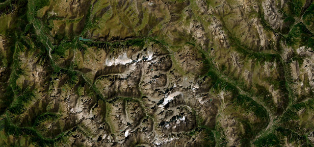
Col de Turini
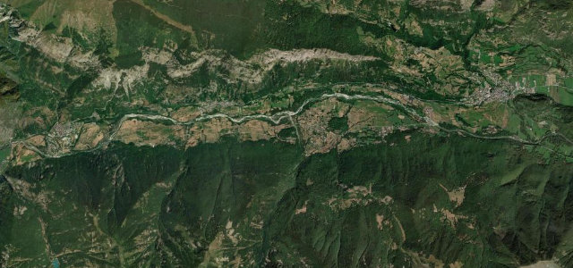
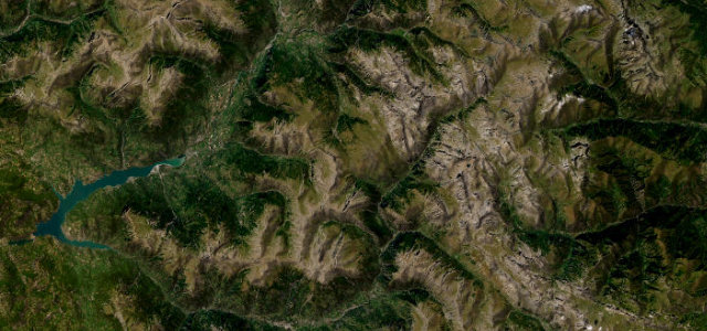
Route Napoleon (Grasse to Castellane)
Gorges du Cians
Gorges de Daluis
Col de la Lombarde
Gorges du Verdon
Col de la Bonette
Colle Fauniera
Colle della Maddalena
Route des Crêtes du Verdon
Col de la Cayolle
Col d'Allos
Col de Vars
Col Agnel
Col d'Izoard
Col du Lautaret

Col de Montgenevre
Colle del Sestriere
Col du Granon
Gorges de la Nesque
Near other cities
Driving near Nice: common questions
What is the best driving road near Nice?
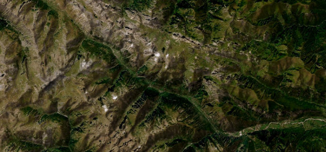
Col de l’Echelle, about 95 miles from Nice as the crow flies. A narrow, tranquil forest crossing from the wild Claree valley into Italy, the quiet cult alternative to the busy Montgenevre.
How many great driving roads are within 100 miles of Nice?
23 of the roads in our catalogue pass within 100 miles of Nice, every one mapped from real road geometry and fact-checked.
What is the closest great driving road to Nice?
Col de Vence, about 8 miles away. The Riviera back-country road carmakers head straight for when launching a new car, a twisting climb above Vence into a lunar plateau.