Region guide
The best driving roads in the Eastern USA
31 hand-picked driving roads in the Eastern USA, every one mapped from real geometry and fact-checked, including 4 world icons.
Roads314 world icons
Combined703 mi1,131 km of driving
High point1,974 m6,476 ft
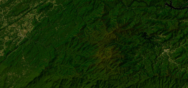
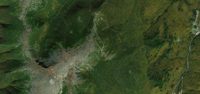
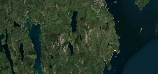
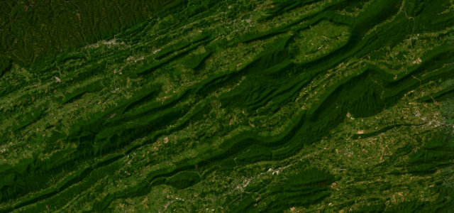
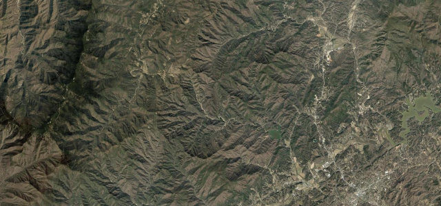
The Eastern United States hides its best driving in the Appalachians: the Blue Ridge, the Smokies and the tight mountain roads of New England in autumn. Here are the best, each mapped from real geometry and checked by hand.
The roads
 Mount Washington Auto Road6 mi · 13 min · 1,909.2 m summitView the roadbook ›
Blue Ridge Parkway Linn Cove
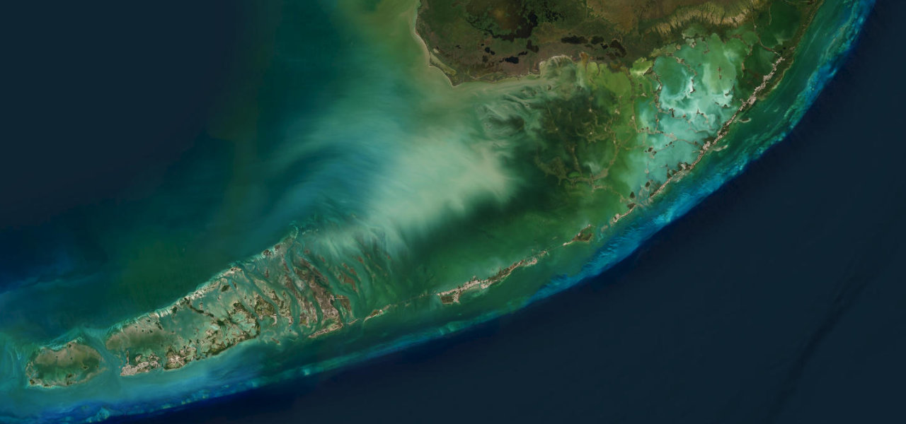
Overseas Highway
Tail of the Dragon
Grafton Notch
Highland Scenic Highway
Mount Greylock (Rockwell Road)
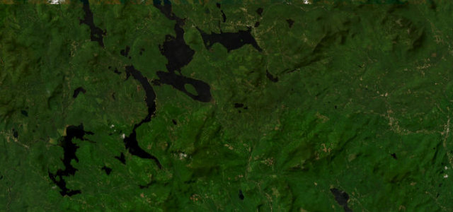
Rangeley Lakes / Height of Land
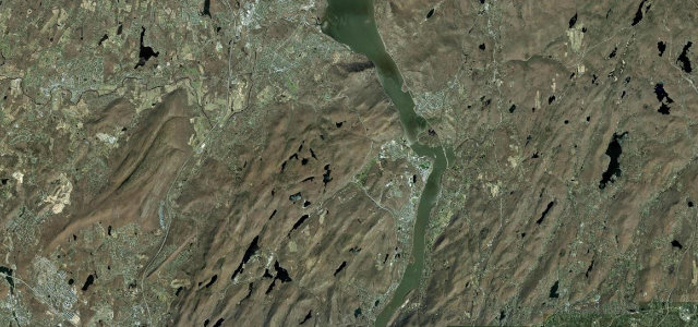
Storm King Highway
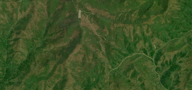
Brasstown Bald Spur
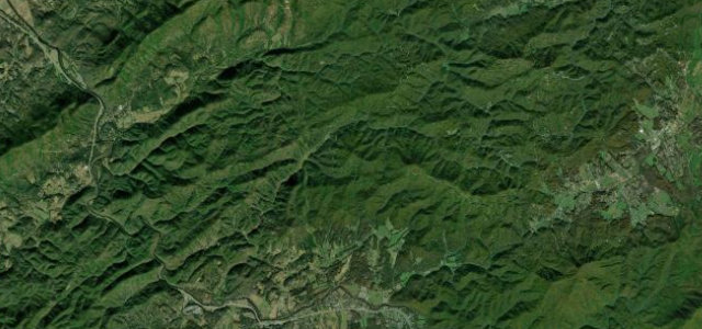
Foothills Parkway (Western Section)
Mount Equinox Skyline Drive
The Diamondback
Moonshiner 28
Mohawk Trail (Route 2)
Vermont Route 100, Granville Gulf
Natchez Trace Parkway (Tennessee)
Balsam Grove
Mount Mitchell Summit Road
The Snake
Whiteface Veterans Memorial Highway
Smugglers' Notch
Talimena Scenic Drive
Park Loop Road (Acadia)
Back of the Dragon
Hawk's Nest Highway
Devil's Whip
Newfound Gap Road
Kancamagus Highway
Skyline Drive